
Website Search
Lexington Public Library is proud to host the 2026 Kentucky History and Genealogy Conference. This conference brings together historians, genealogists, researchers, and enthusiasts to explore the rich history and genealogical heritage of Kentucky.
Library meeting rooms are available for individuals, non-profit, for profit, study groups, and community organizations seeking to hold meetings, trainings, and workshops. Meeting rooms are free of charge. Sterno and other tools/equipment that have an open flame are prohibited.
Please agree to these terms and conditions to submit a meeting room reservation request.
The Central Kentucky Cemeteries Maps are powered by Google Maps. Counties include: Fayette, Bourbon, Clark, Garrard, Harrison, Jessamine, Lincoln, Madison, Mercer, Montgomery, Nicholas, Powell, Scott, and Woodford.
Throughout June, join us as we celebrate Pride Month with programs, books, podcasts, and more.
All databases are available from this page.

Content from over 80 Kentucky newspapers and news sources, including the Lexington Herald-Leader.
Library meeting rooms are available for individuals, non-profit, for profit, study groups, and community organizations seeking to hold meetings, trainings, and workshops.

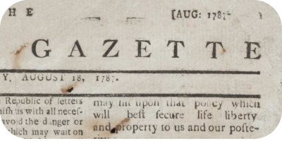
Search, view, and download digitized historical Lexington, KY Newspapers covering the 18th, 19th and 20th centuries.
Celebrate Lexington, Kentucky’s 250th anniversary all year long. Join us for programs, galleries, podcasts, and more highlighting our city’s history, heritage, and legacy.


